
A picture that Bill took the night before in the backyard of the Harvest House (I forgot to put it up yesterday!)
First, we drove on highway 9 through Zion (we had payed the extra dollar on our entrance fee the day before). This is a fun drive and a great way to get away from most of the tourists. There are many places to stop by the side of the road and hike around or take pictures. The rock formations remind me a lot of the rocks in Page around Lake Powell.

Soon after heading out on highway 9, you have to drive through the Mount Carmel Tunnel (picture from the forest service website). It's a tunnel that was built straight through the mountain in 1930. Since it was built at a time when vehicles were smaller, large vehicles have to be escorted through the tunnel and all traffic has to be stopped going the opposite direction.

The view from inside the tunnel. It's different to get a camera to focus in the dark when you're moving!
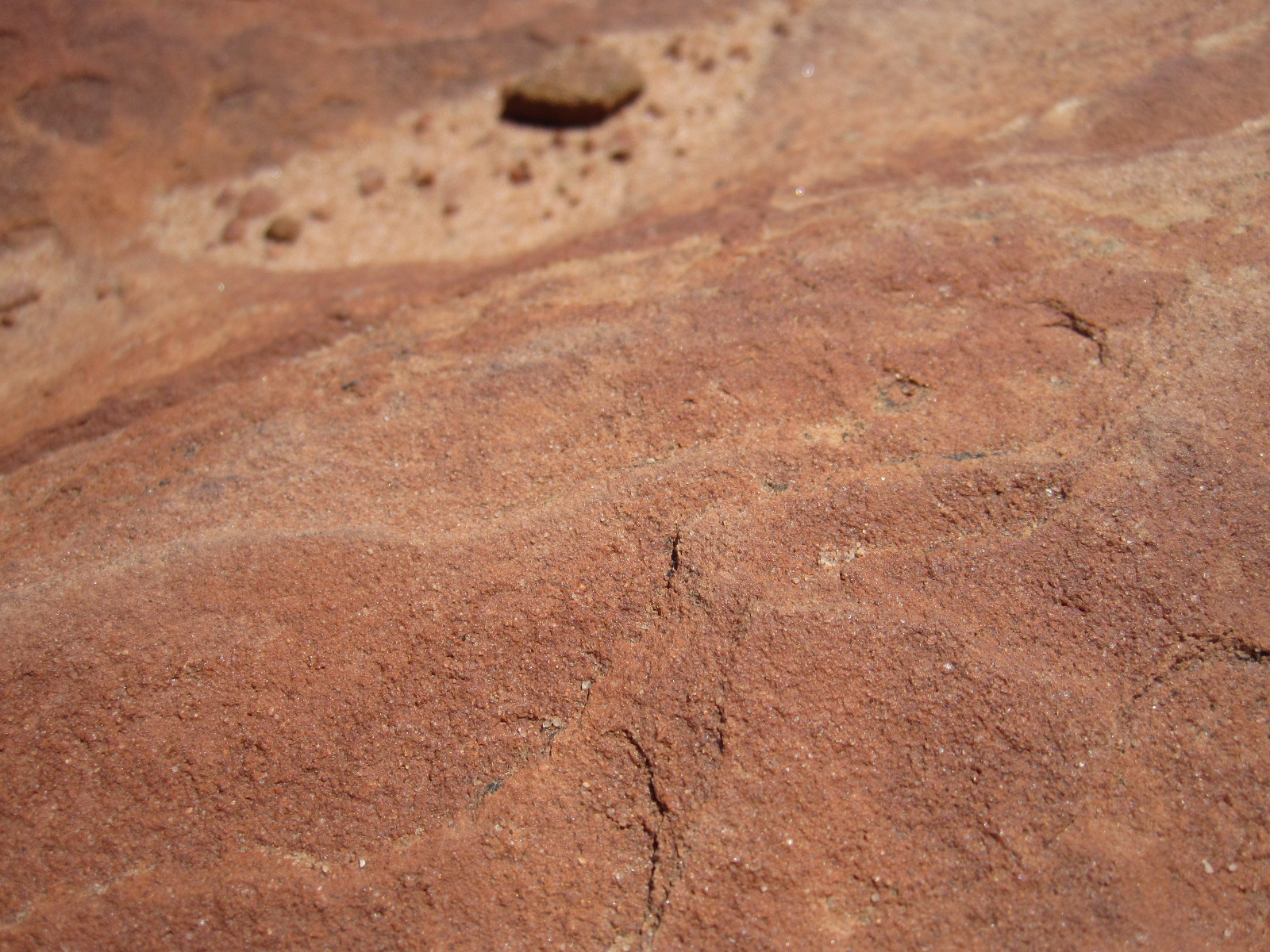
Sandstone up close.

We stopped on a pull off to photograph some sandstone.


I look pretty tired!

The photographer at work :)


Another section of sandstone.


Highway 9

Some sandstone photos that Bill took.


This is Checkerboard Mountain, named for the checkerboard pattern on it's surface.

Once you get outside of Zion, it all of a sudden looks like this. Those are buffalo!
After we left Zion, we headed toward the Coral Pink Sand Dunes. These sand dunes have a unique pinkish color because they were created by sand eroded from the surrounding red rock. The funny thing about this is that the surrounding red rock is made of sand stone, so the surrounding red rocks were actually sand dunes themseleves in a huge desert long ago.

The beginning of the Coral Pink Sand Dunes. The sand dunes aren't as thick here, so pine trees can grow on them.

After my discovery the day before about Vibrams and sand, I decided it would be best to wear my Merrells. Walking through those sand dunes was much harder than it looked! It's very difficult to make any progress when your foot just slides back to the position in which it started.

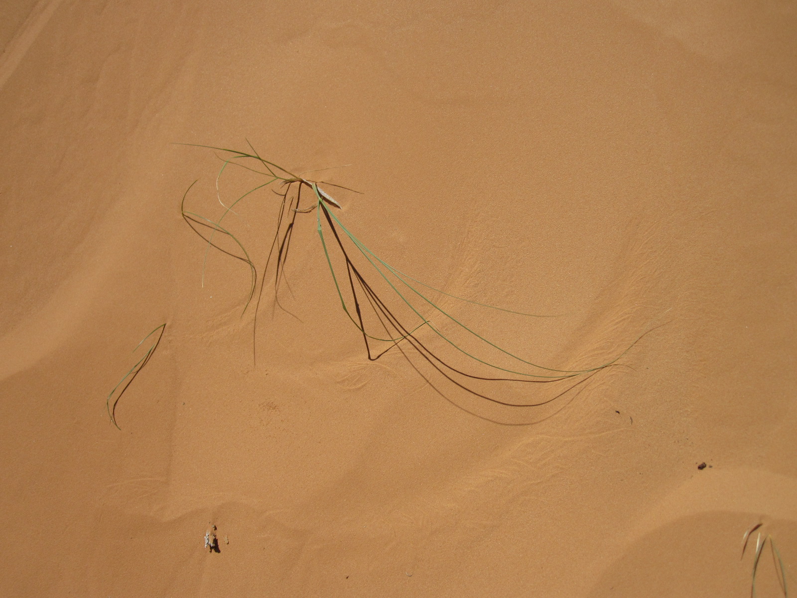
A bloom in the middle of the sand dunes.

When plants died in the middle of the sand dunes they seemed to just mummify instead of decomposing.

A mummified flower.
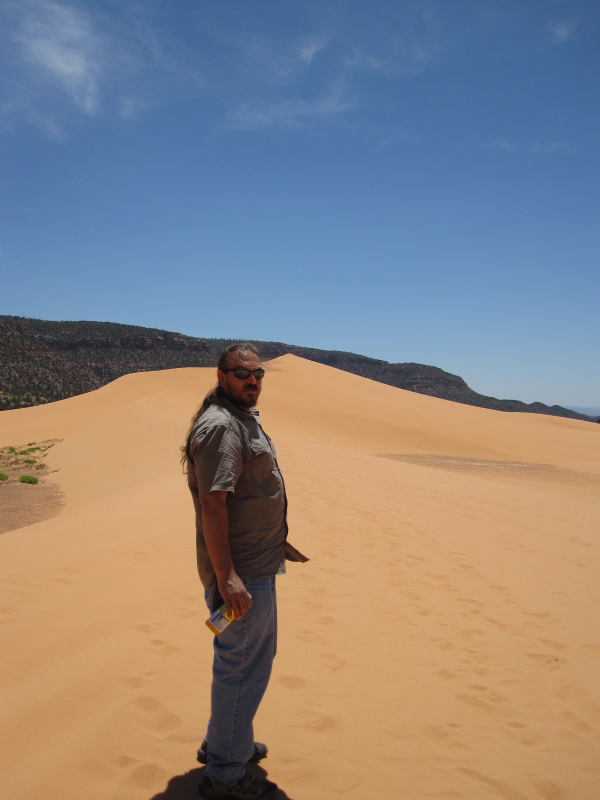
Bill :)


The view from the top of one of the sand dunes.

The ripples in the sand created by the wind.

Every once in a while you would find an area where the sand had been cleared away by the wind to expose the red rock below.

This is a popular spot for riding ATVs. Here youcan seen tire tracks in a low-lying spot.


The wind quickly wiped away our footprints as we walked up the dunes.


Waaaattttterrrrrrrrrrr...

Small shrubs are able to take root on the outer edges of the dunes. Their roots sense the direction that the wind is blowing the dunes and start to grow out in that direction to take anchor.

A sand devil.
After visiting the Coral Pink Sand Dunes, we headed south into Arizona towards the North Rim of the Grand Canyon. Before you actually reach the North Rim of the Grand Canyon, you drive through a beautiful forest full of Aspens, Douglas Fir, and Spruce. The road itself drives through these gorgeous, expansive meadows. It doesn't feel like Arizona! Sadly, there are a few parts of the forest that have been stricken by forest fires. The road drives through a good ten minutes of depressing Mars-like atmosphere before entering back into the forest. When you reach the North Rim of the Grand Canyon itself, it's all Ponderosa Pine.

One of the beautiful meadows in the forest near the rim.

The North Rim.

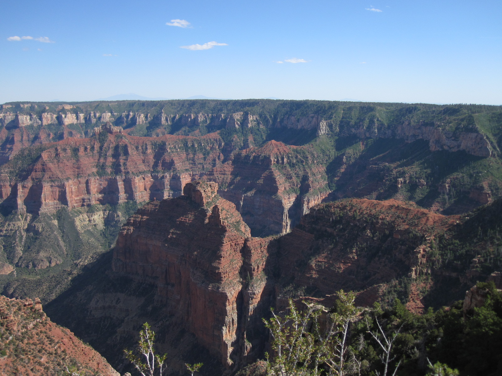


A great panorama Bill took with the awesome camera :)
After driving by the North Rim we headed towards home. On the way back, we drove past the Vermilion Cliffs, Cliff Dwellers, and Lee's Ferry.

The Vermilion Cliffs at a distance.

The Vermilion Cliffs from the car.
At the base of the Vermilion Cliffs is an interesting place called Cliff Dwellers. It consists of houses and buildings that were built against these huge balancing rocks in the 1930s. The dwellings are deserted now, but very cool to look at. I found an interesting article about it here.

One of the balancing rocks. It's bigger than you think!

The largest dwelling built completely around one of the balancing rocks (as you can see in the picture below).


Strong man!

The rock from above with me :)

Eventually, the rocks fall.

Another one of the dwellings. It's probably helping to keep it from eroding and falling over.
After driving by the Vermilion Cliffs, we went over Navajo Bridge at Lee's Ferry.

Bill walking over the foot bridge next to the bridge for cars. The foot bridge was the original bridge. It, like the tunnel in Zion, was built at a time when vehicles were smaller, just a year earlier in 1929. The new car bridge was built in 1995.


The Colorado River from the foot bridge.

The foot bridge on the left and the car bridge on the right. The bridge built in 1995 was built using the same basic design as the 1929 bridge.
The sun went down and we headed through Flagstaff and on to Mesa. We stopped in Flagstaff for dinner at Wendy's and picked up a crazy syndicated AM radio station on our way home. The show was talking about the numerology of various politicians and what it meant for their upcoming year lol. The radio show was based out of L.A., but we didn't find out until we got to Mesa that we had been listening to a syndication of it all the way from Texas! We reached our house at 1 a.m. It was good to go to bed!
Check out my next blog to hear about our trip to Payson!